MAPUSA
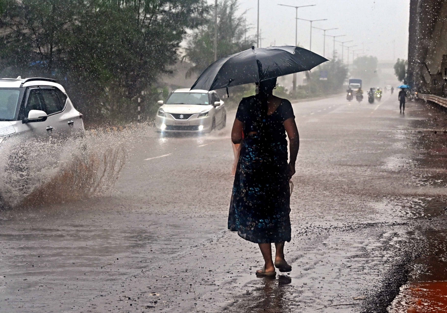
Intense rainfall on some days and weak monsoon conditions on others indicated an erratic pattern of rainfall in Goa so far.
The State experienced extreme rainfall events on June 28 (142 mm), July 5 (131 mm) and July 14 (121 mm). Contrastingly, there were also several near-dry spells with even sun popping out for the better part of the day.
The monsoon has been weak in general for the last two days which was confirmed by the India Meteorological Department (IMD).
The State received an average rainfall of a meagre 15.2 mm on Sunday, dropping the seasonal surplus to 11.4 per cent.
“Goa had all the synoptic conditions conducive for it such as monsoon trough, offshore trough and low-level jet all favoured the active monsoon conditions over the State, especially for the period from June 23 till July 14,” said a former scientist with the IMD Dr Ramesh Kumar.
“Interestingly, the El Nino phenomenon has so far not affected the monsoon in the Indian subcontinent,” he added.
Meanwhile, the IMD has issued an orange (be prepared) weather alert in the State for three days from July 18 to 20.
“Heavy rainfall is very likely at few places on July 17 and heavy to very heavy rainfall is very likely at a few places on July 18 to 20 in the State,” the IMD said in a press note.
It has further forecast moderate to heavy rainfall at most places from July 21 to 22.
The IMD said that certain systems developing in the Bay of Bengal are expected to bring copious rain to the State.
“A cyclonic circulation is likely to form over Northwest Bay of Bengal around July 18. Besides, under the influence of cyclonic circulation over Northwest Bay of Bengal, a low-pressure area has formed over north Odisha and adjoining Gangetic West Bengal and Jharkhand,” the Met department said.